To DGRI
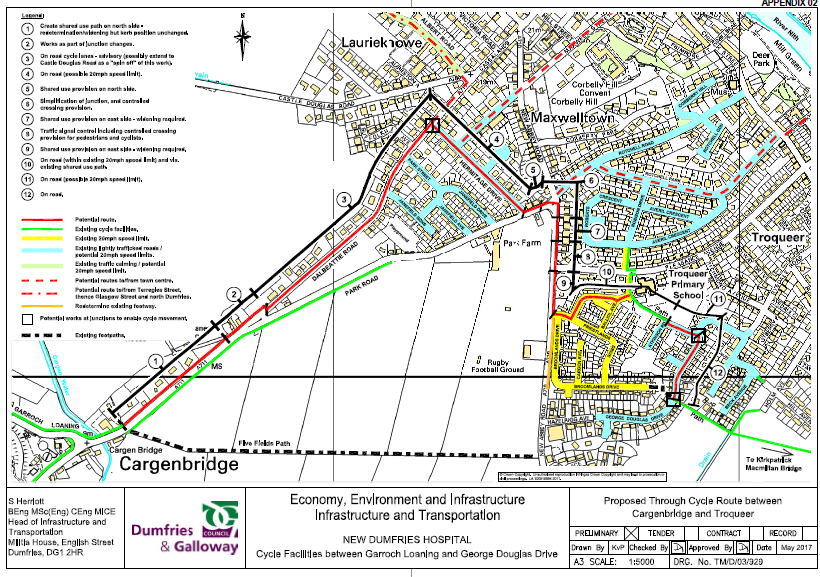
Plans are afoot to improve walking and cycling routes around New Abbey Road, Park Road and Dalbeattie Road so better routes may open up. The proposed plans are shown below. See the committee report section 17 for more details.
mapmyride: Troqueer (Rydale Rd) – DGRI CYCLING
15 min cycle, 50kcal, 2.2 mile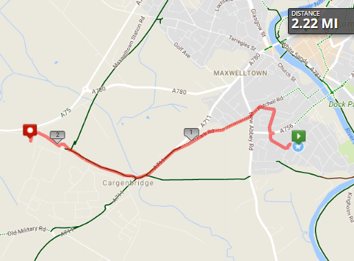
mapmyride: Troqueer (Rydale Rd) – DGRI WALKING
40 min walk, 2000 steps, 100kcal, 2.2 mile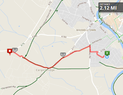
mapmyride: Troqueer (Troqueer Rd)/Rotchell – DGRI
15 min cycle, 40 min walk, 2000 steps, 100kcal, 2.2 mile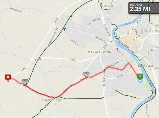
To Mountainhall
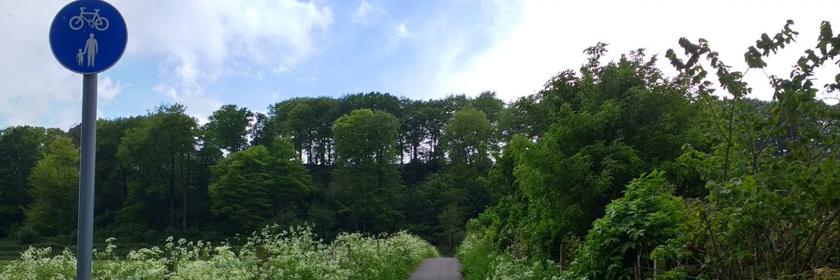
The walking and cycling route from Troqueer is shorter than the road route and often quicker! It’s also a pleasant way to start and end the working day with a wander or a wheel along the river and through the parks.
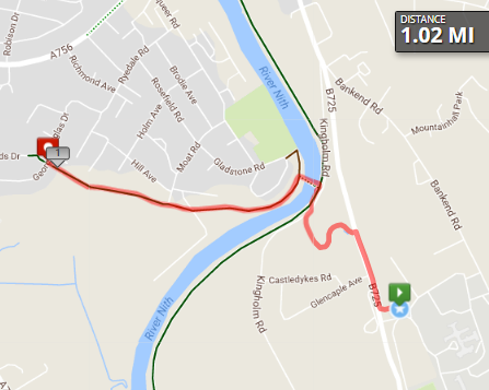
mapmyride: Troqueer – Mountainhall via Holm Park
20 min walk, 10 min cycle, 50kcal, 1 mile
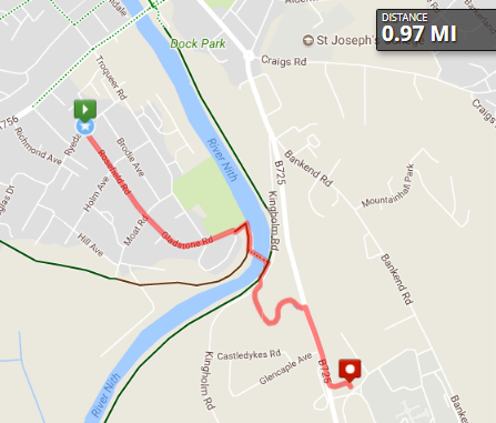
mapmyride: Rydale Road – Mountainhall
20 min walk, 10 min cycle, 50kcal, 1 mile